These Before and After Photos Show How Much Cincinnati Has Transformed In the Past 15 Years

These Before and After Photos Show How Much Cincinnati Has Transformed In the Past 15 Years
2021 Google Maps

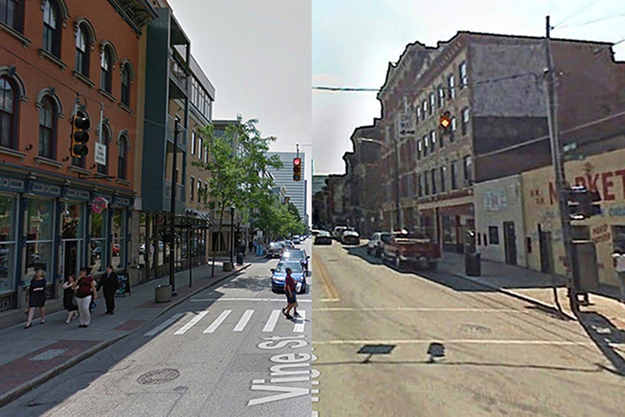
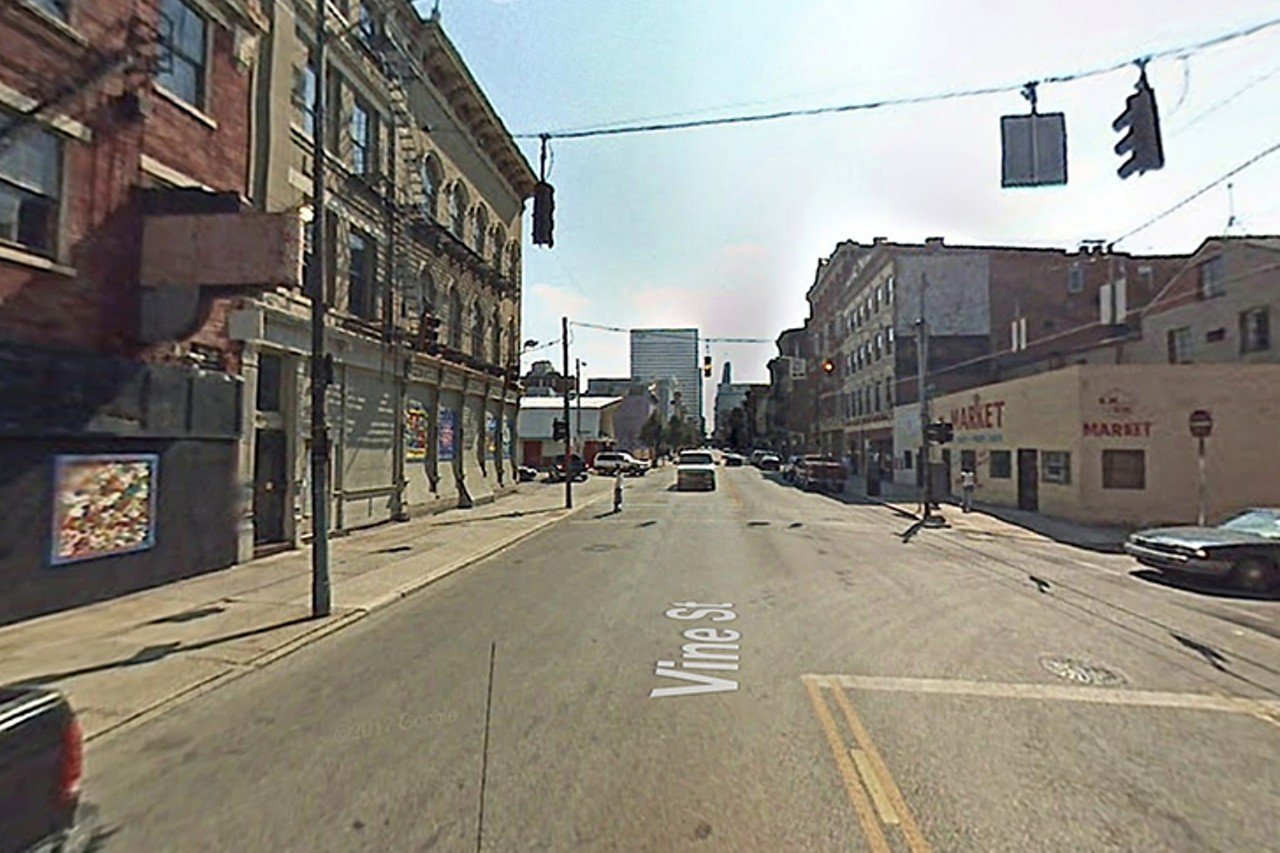
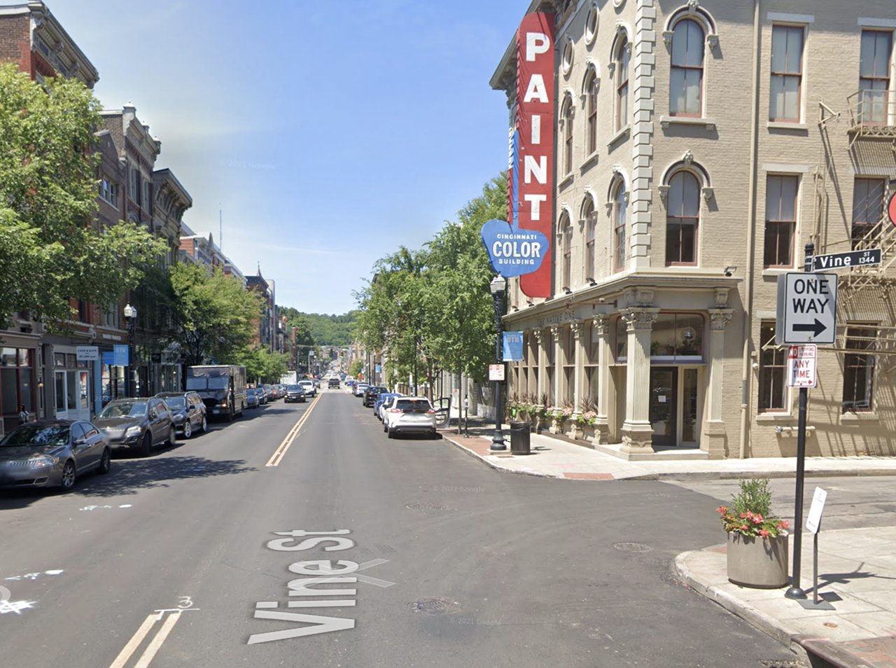
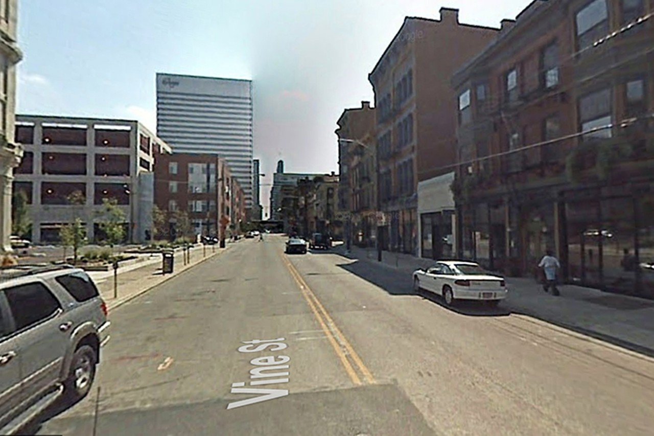
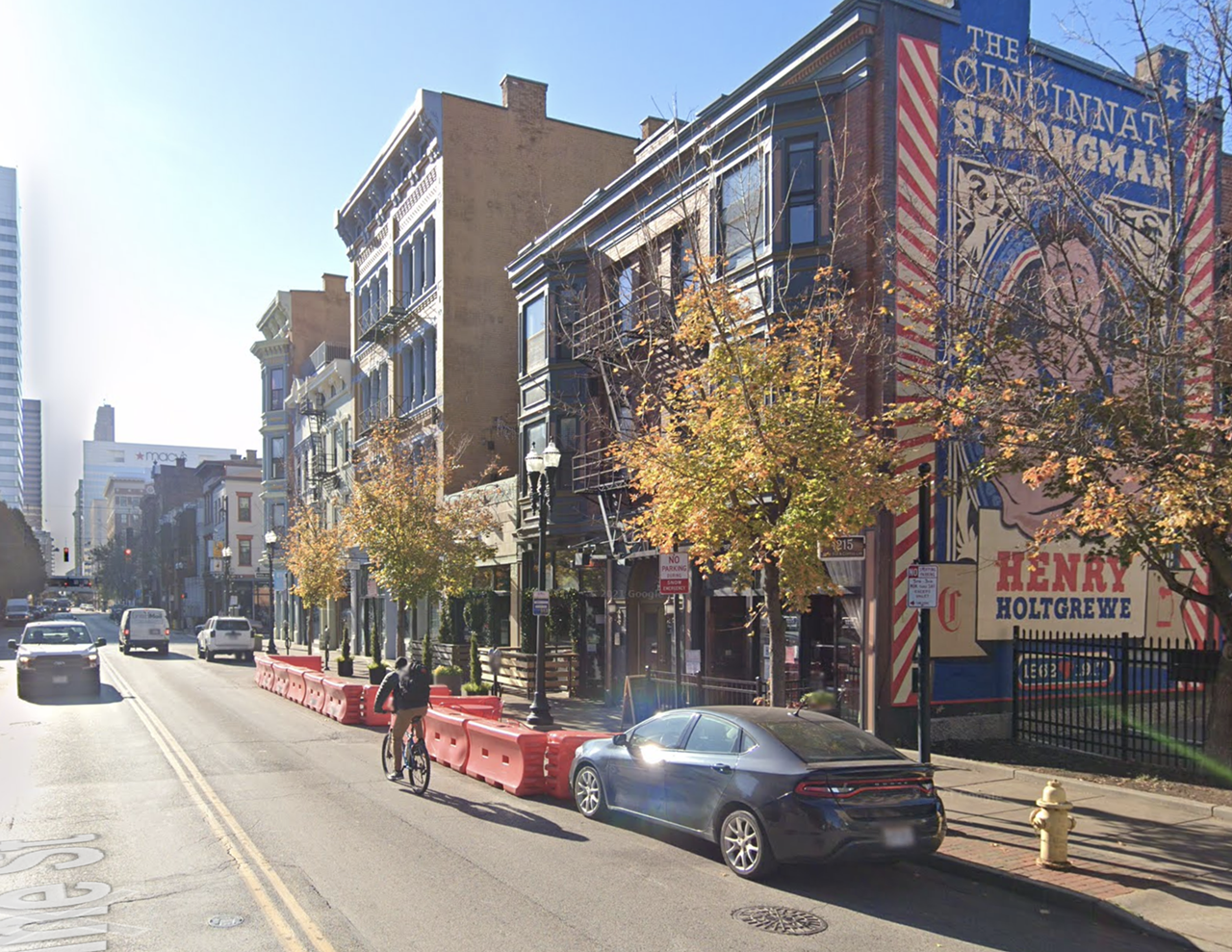
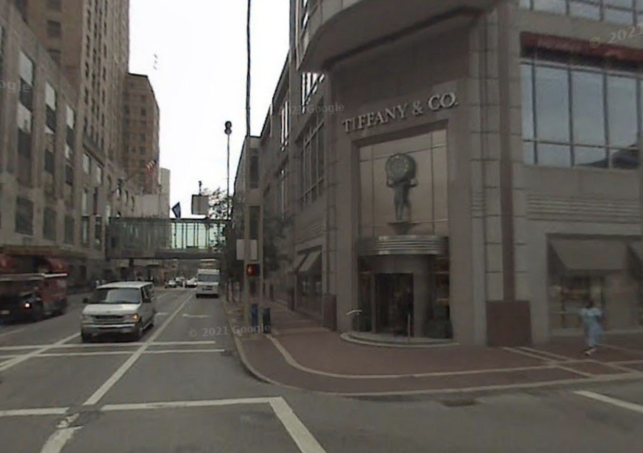
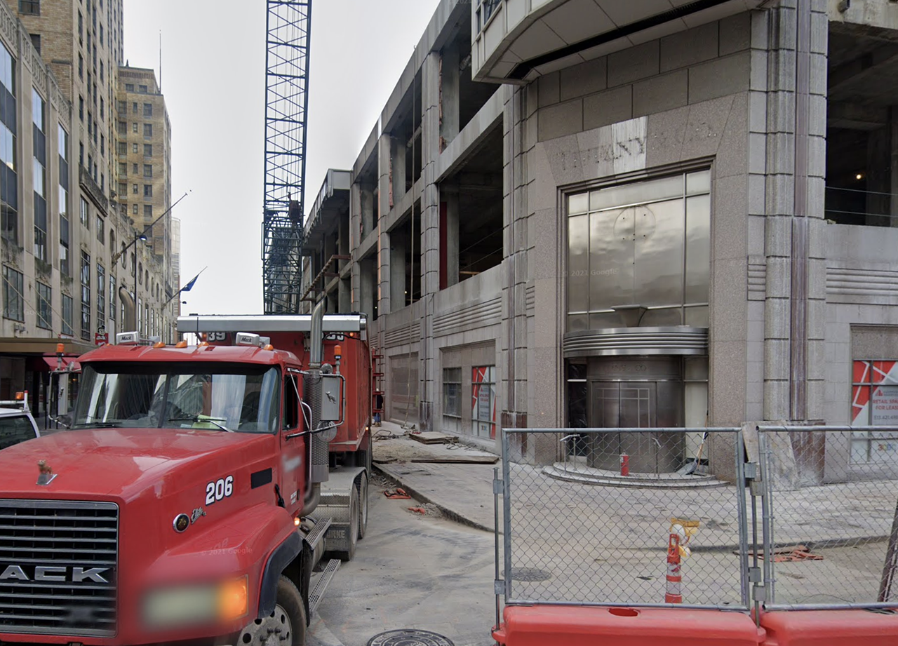
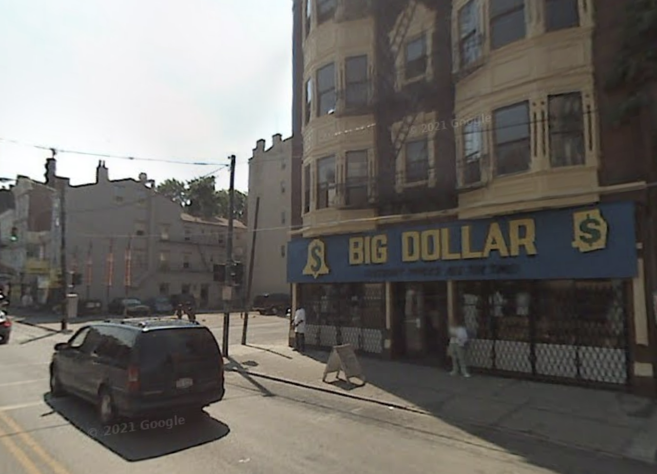
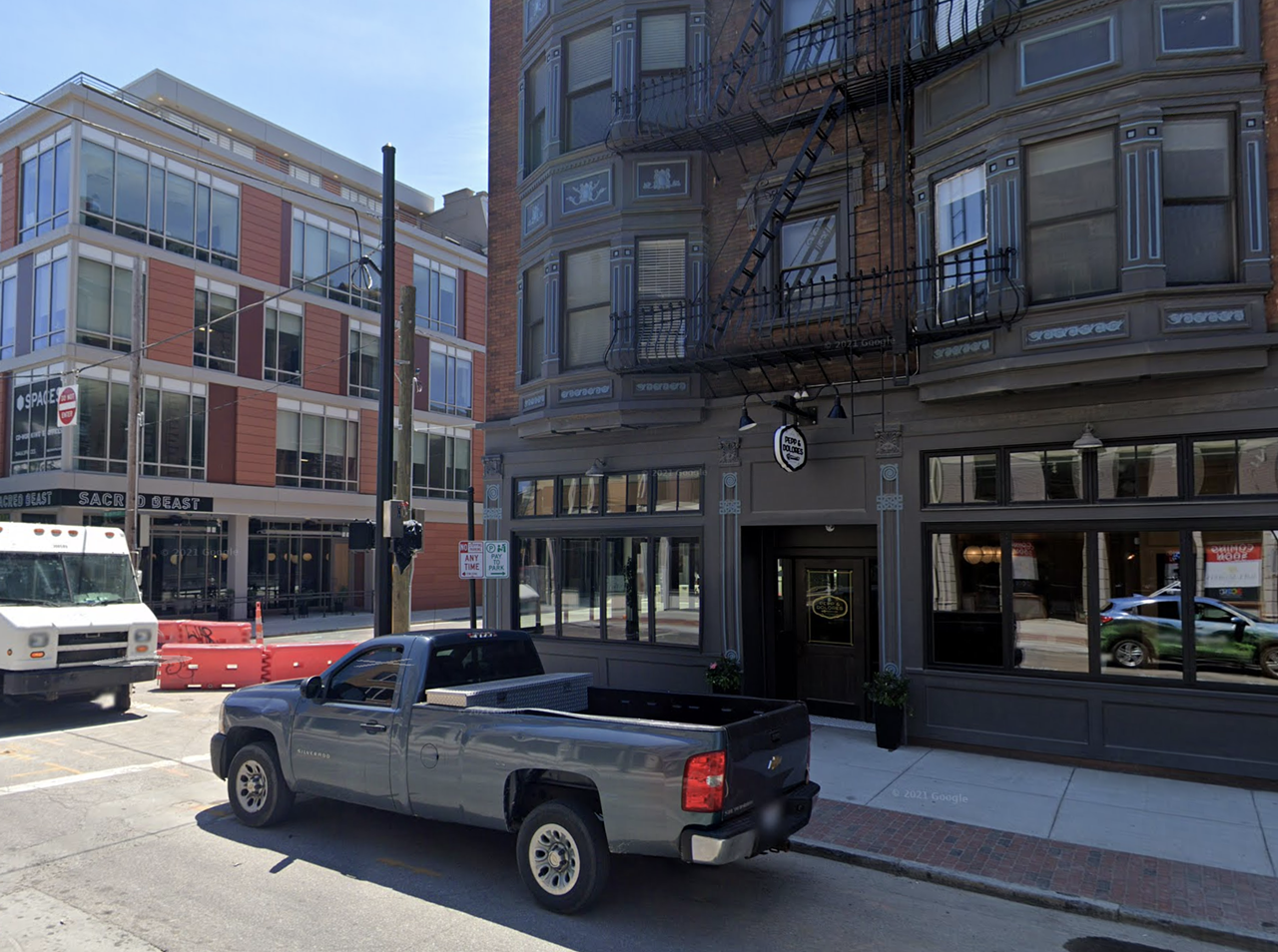
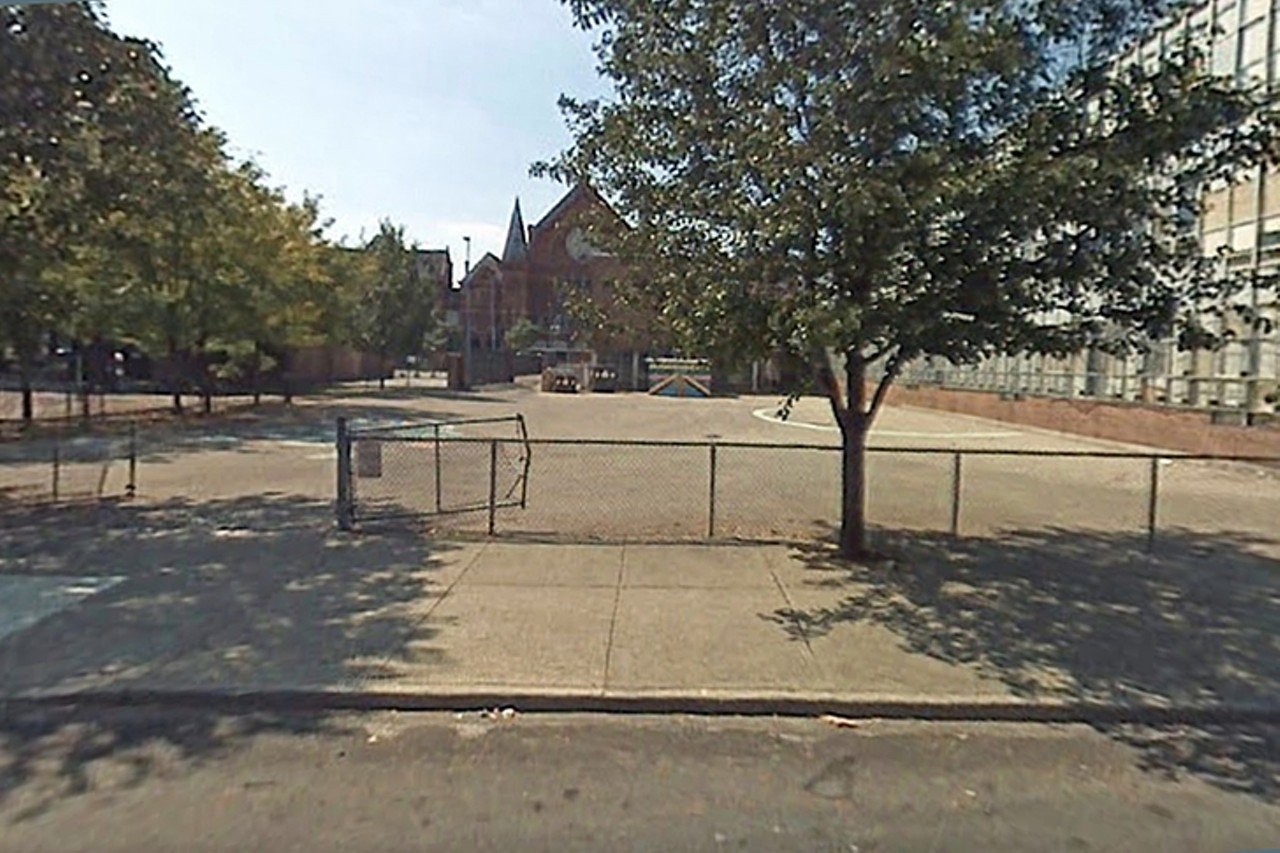
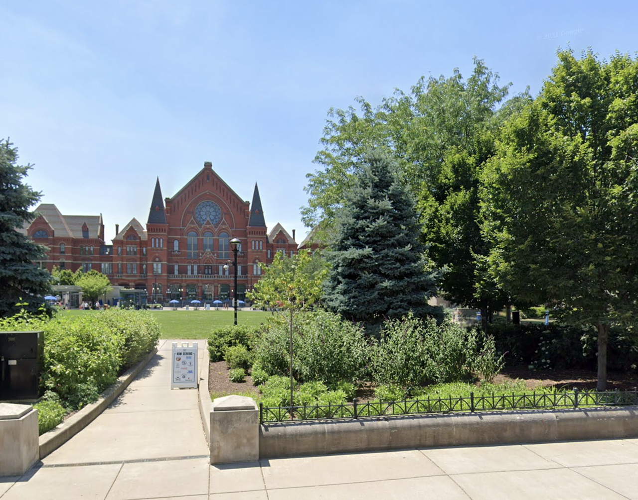
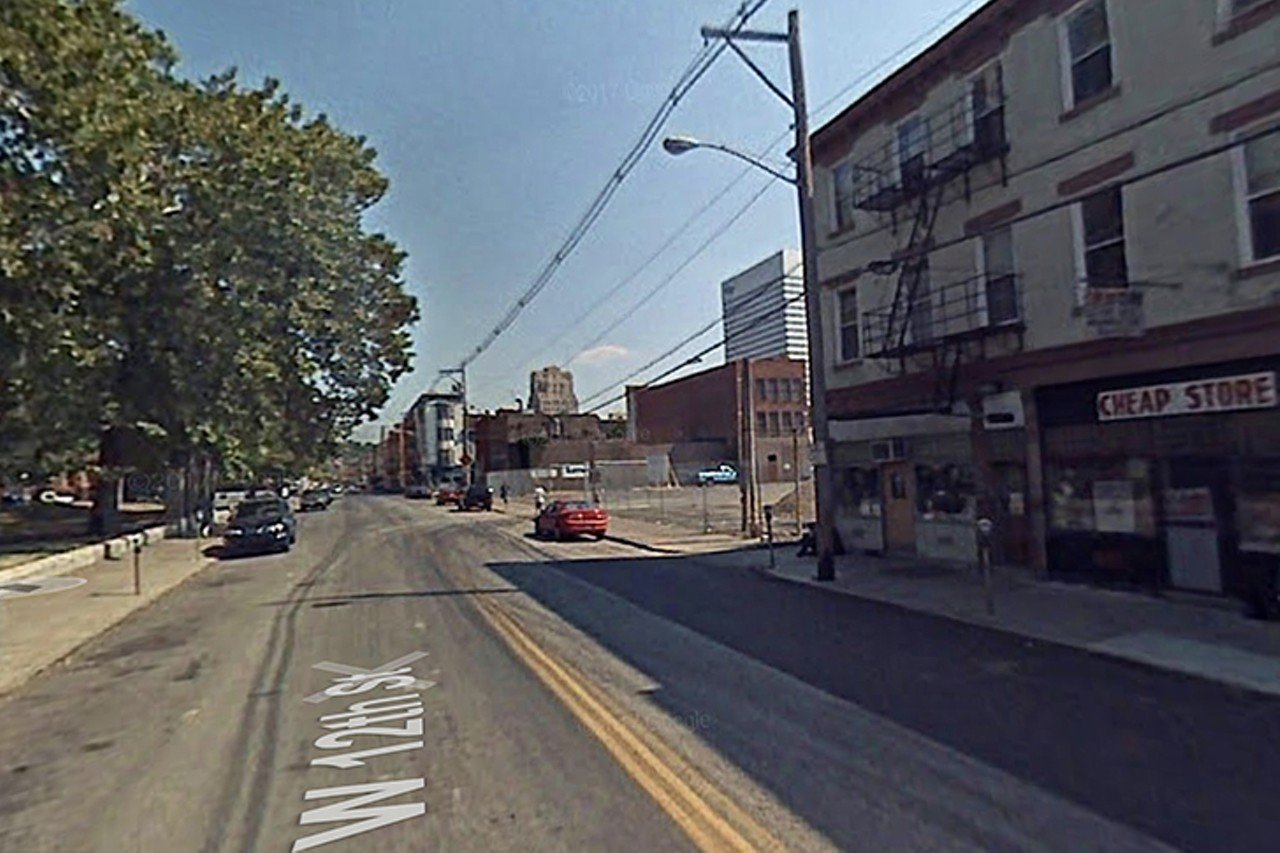
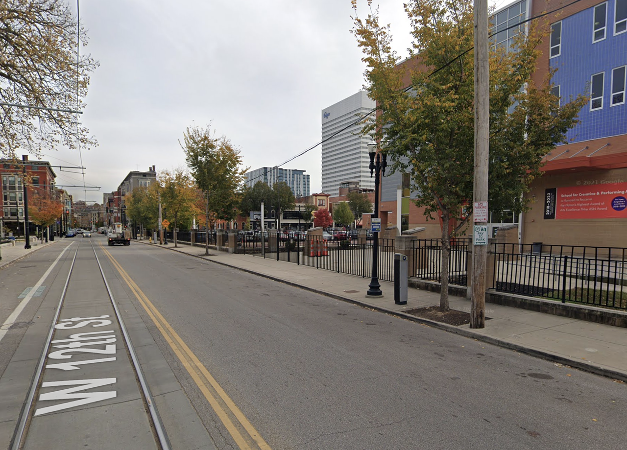
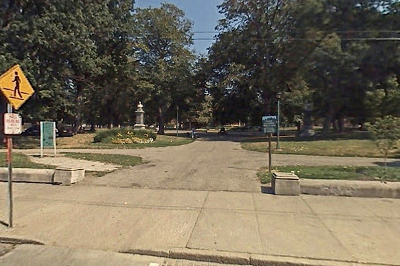
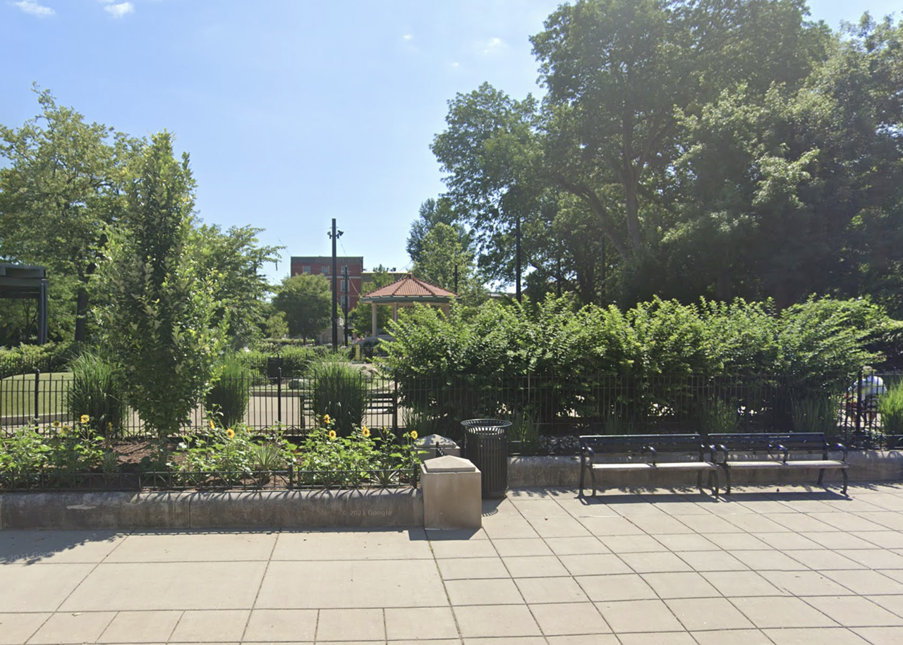
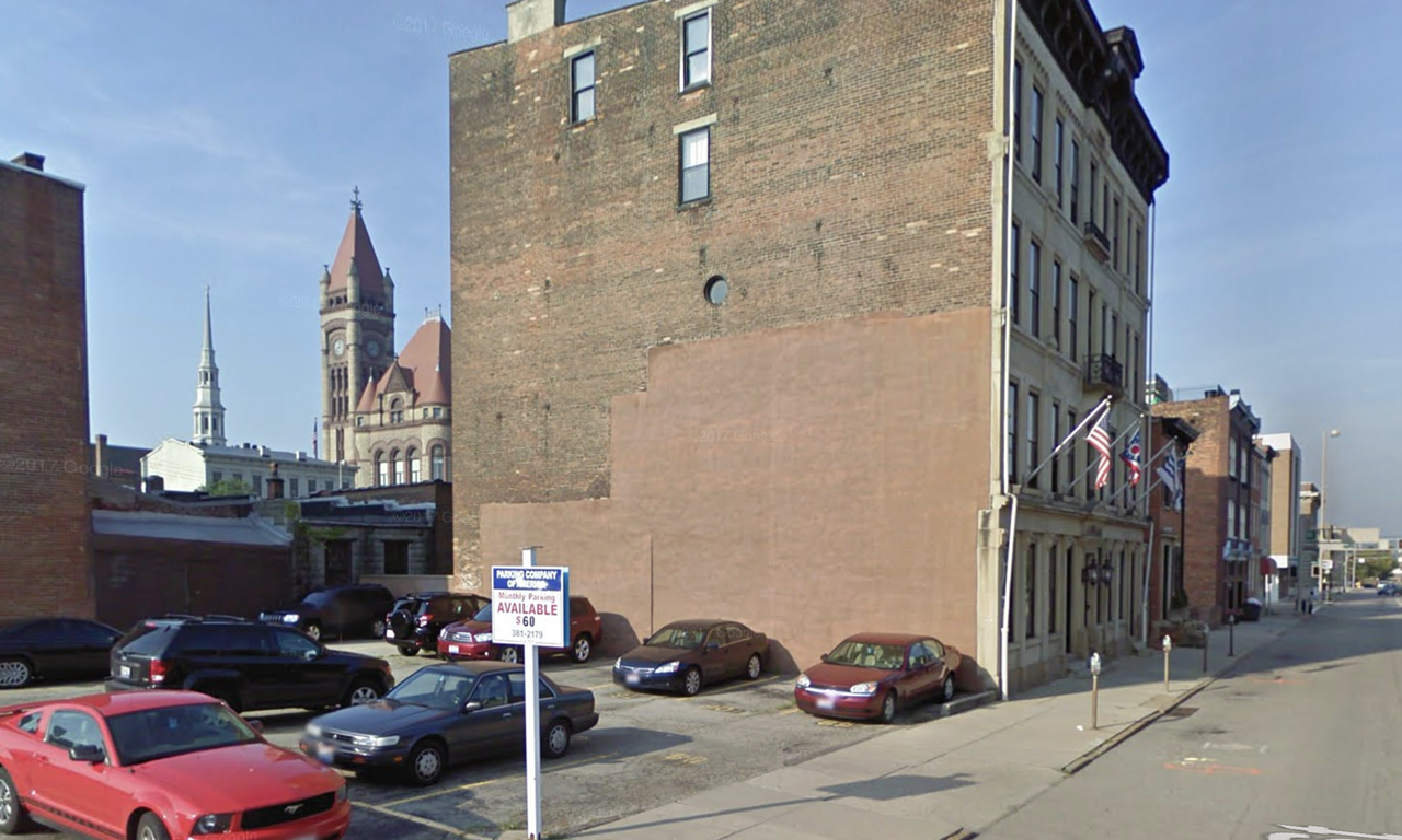
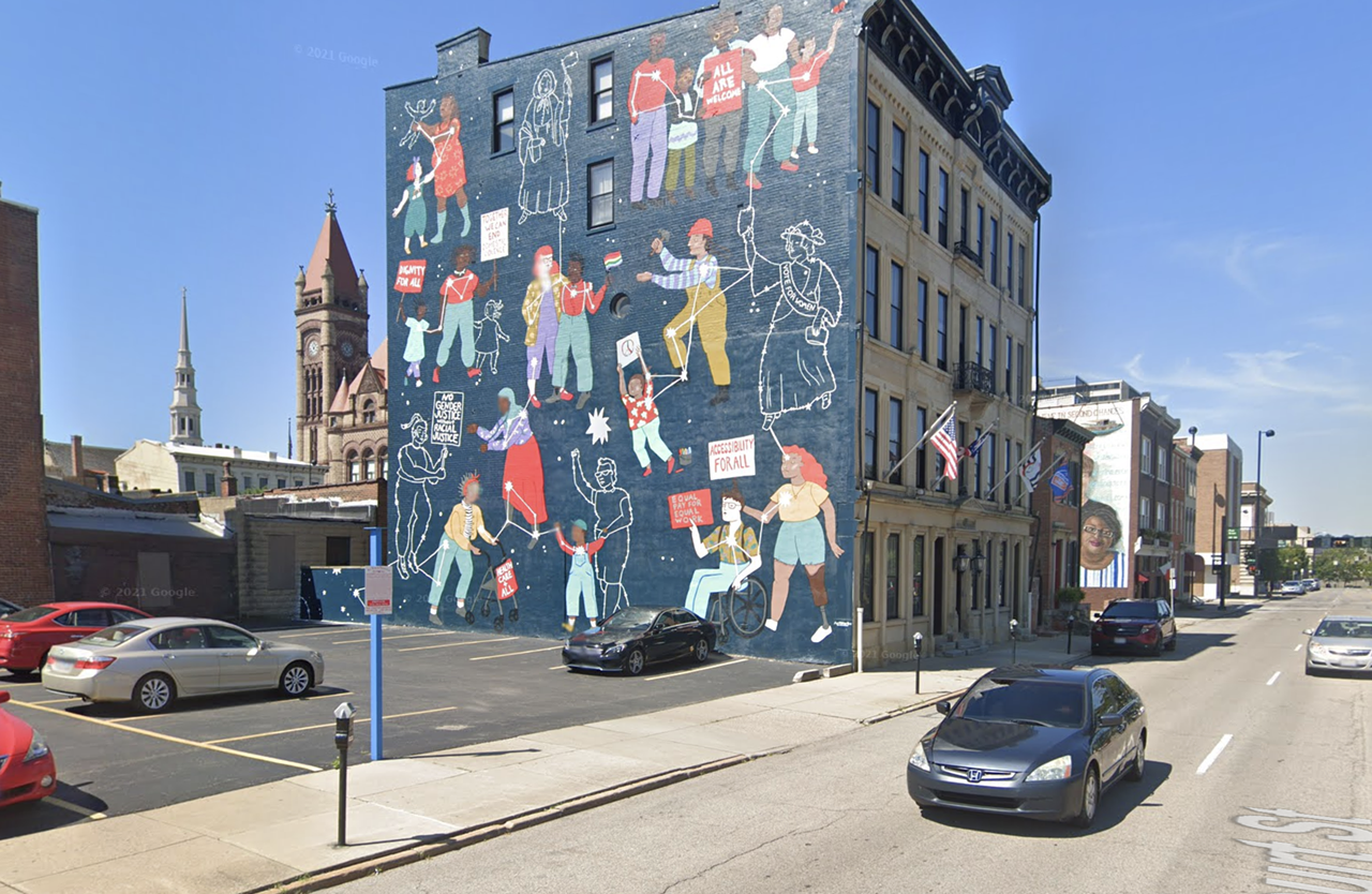
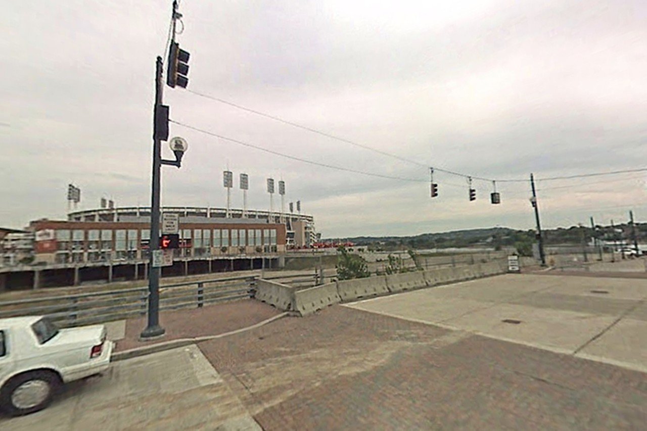
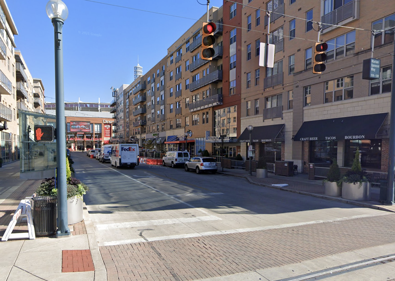
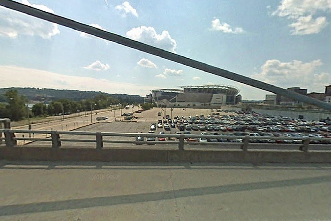
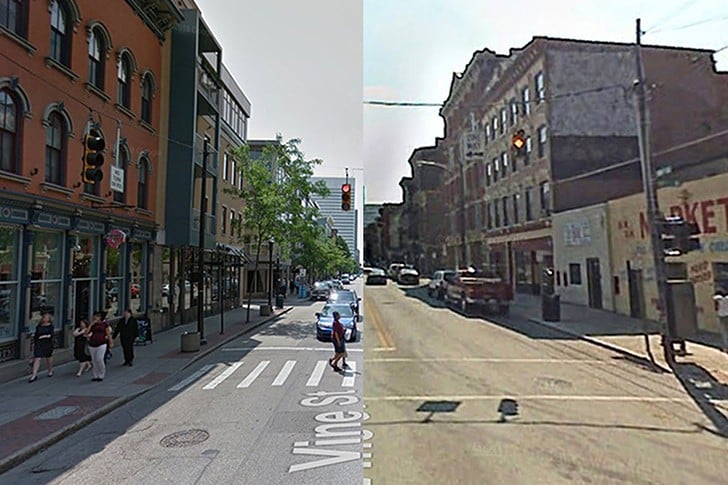
It’s no question that Cincinnati’s landscape has seen its fair share of changes in recent years, but it’s easy to forget just how drastically different our city looked almost 15 years ago. Over-the-Rhine buzzes with lunch groups waiting for their tables at Bakersfield. Kids and dogs hang out at Washington Park’s manicured playground and dog park. Saturday night is for sipping craft cocktails at Longfellow or heading to MOTR Pub for cheap beer and free live music. The Banks has been reinvented into its own destination, completed by the swings and interactive sculptures of Smale Riverfront Park. Findlay Market seems to expand with new additions and vendors on a practically daily basis. Further uptown, Clifton has had its own revival. Northside has seen significant change, too, where boarded-up buildings have been refurbished to make room for restaurants and bars like The Littlefield. Across the river, Covington has made a lot of changes, like repurposing the old City Hall into the trendy Hotel Covington and Coppin's restaurant. Cincinnati sure doesn’t look the same as it once did. It didn’t happen overnight, but when you look at these Google Street View photos from 2007 and 2021 side by side, it’s amazing to see just how much the city has changed in nearly 15 years.

Photos by ©2021 Google Maps


Scroll down to view images
Page 1 of 3
These Before and After Photos Show How Much Cincinnati Has Transformed In the Past 15 Years
2021 Google Maps
1 of 47
Then—Sept. 2007
Intersection of Vine Street and W. 14th Street
1342 Vine St., Over-the-Rhine
2021 Google Maps

Then—Sept. 2007

Intersection of Vine Street and W. 14th Street
1342 Vine St., Over-the-Rhine
2 of 47
Now—Sept. 2021
Intersection of Vine Street and W. 14th Street near The Eagle
342 Vine St., Over-the-Rhine
Google Maps 2021

Now—Sept. 2021

Intersection of Vine Street and W. 14th Street near The Eagle
342 Vine St., Over-the-Rhine
3 of 47
Then—Sept. 2007
Vine Street
1218 Vine St., Over-the-Rhine
2021 Google Maps

Then—Sept. 2007

Vine Street
1218 Vine St., Over-the-Rhine
4 of 47
Now—Sept. 2021
Vine Street, near Bakersfield
1218 Vine St., Over-the-Rhine
2021 Google Maps

Now—Sept. 2021

Vine Street, near Bakersfield
1218 Vine St., Over-the-Rhine
5 of 47
Then—Sept. 2007
Tiffany & Co. storefront
502 Vine St., Downtown
Google Maps 2021

Then—Sept. 2007

Tiffany & Co. storefront
502 Vine St., Downtown
6 of 47
Now—Nov. 2020
Intersection of Vine St. and W 5th St.
502 Vine St., Downtown
Google Maps 2021

Now—Nov. 2020

Intersection of Vine St. and W 5th St.
502 Vine St., Downtown
7 of 47
Then—Sept. 2007
Vine Street, near OTR Kroger
1501 Vine St., Over-the-Rhine
Google Maps 2021

Then—Sept. 2007

Vine Street, near OTR Kroger
1501 Vine St., Over-the-Rhine
8 of 47
Now—Sept. 2021
Vine Street, near Pepp & Dolores
1507 Vine St., Over-the-Rhine
Google Maps 2021

Now—Sept. 2021

Vine Street, near Pepp & Dolores
1507 Vine St., Over-the-Rhine
9 of 47
Then—Sept. 2007
Washington Park facing Music Hall
1314 Race St., Over-the-Rhine
2021 Google Maps

Then—Sept. 2007

Washington Park facing Music Hall
1314 Race St., Over-the-Rhine
10 of 47
Now—Sept. 2021
Washington Park facing Music Hall
1314 Race St., Over-the-Rhine
Google Maps 2021

Now—Sept. 2021

Washington Park facing Music Hall
1314 Race St., Over-the-Rhine
11 of 47
Then—Sept. 2007
W. 12th Street south of Washington Park
129 W. 12th St., Over-the-Rhine
2021 Google Maps

Then—Sept. 2007

W. 12th Street south of Washington Park
129 W. 12th St., Over-the-Rhine
12 of 47
Now—Sept. 2021
W. 12th Street south of Washington Park, near School of Creative and Performing Arts
129 W. 12th St., Over-the-Rhine
Google Maps 2021

Now—Sept. 2021

W. 12th Street south of Washington Park, near School of Creative and Performing Arts
129 W. 12th St., Over-the-Rhine
13 of 47
Then—Sept. 2007
West side of Washington Park
122 Elm St., Over-the-Rhine
2021 Google Maps

Then—Sept. 2007

West side of Washington Park
122 Elm St., Over-the-Rhine
14 of 47
Now—Sept 2021
Washington Park Dog Park
122 Elm St., Over-the-Rhine
Google Maps 2021

Now—Sept 2021

Washington Park Dog Park
122 Elm St., Over-the-Rhine
15 of 47
Then—Aug. 2009
W. Court St. near the intersection of Plum St.
225 W Court St., Over-the-Rhine
Google Maps 2021

Then—Aug. 2009

W. Court St. near the intersection of Plum St.
225 W Court St., Over-the-Rhine
16 of 47
Now—June 2021
Connected Through the Generations
225 W Court St., Over-the-Rhine
Google Maps 2021

Now—June 2021

Connected Through the Generations
225 W Court St., Over-the-Rhine
17 of 47
Then—Oct. 2007
Marian Spencer Way facing Reds stadium
Marian Spencer Way, Riverfront
2021 Google Maps

Then—Oct. 2007

Marian Spencer Way facing Reds stadium
Marian Spencer Way, Riverfront
18 of 47
Now—Sept. 2021
The Banks
Marian Spencer Way, Riverfront
Google Maps 2021

Now—Sept. 2021

The Banks
Marian Spencer Way, Riverfront
19 of 47
Then—Oct. 2007
John A. Roebling Suspension Bridge facing Bengals stadium
John A. Roebling Suspension Bridge, Riverfront
2021 Google Maps

Then—Oct. 2007

John A. Roebling Suspension Bridge facing Bengals stadium
John A. Roebling Suspension Bridge, Riverfront
20 of 47
Page 1 of 3