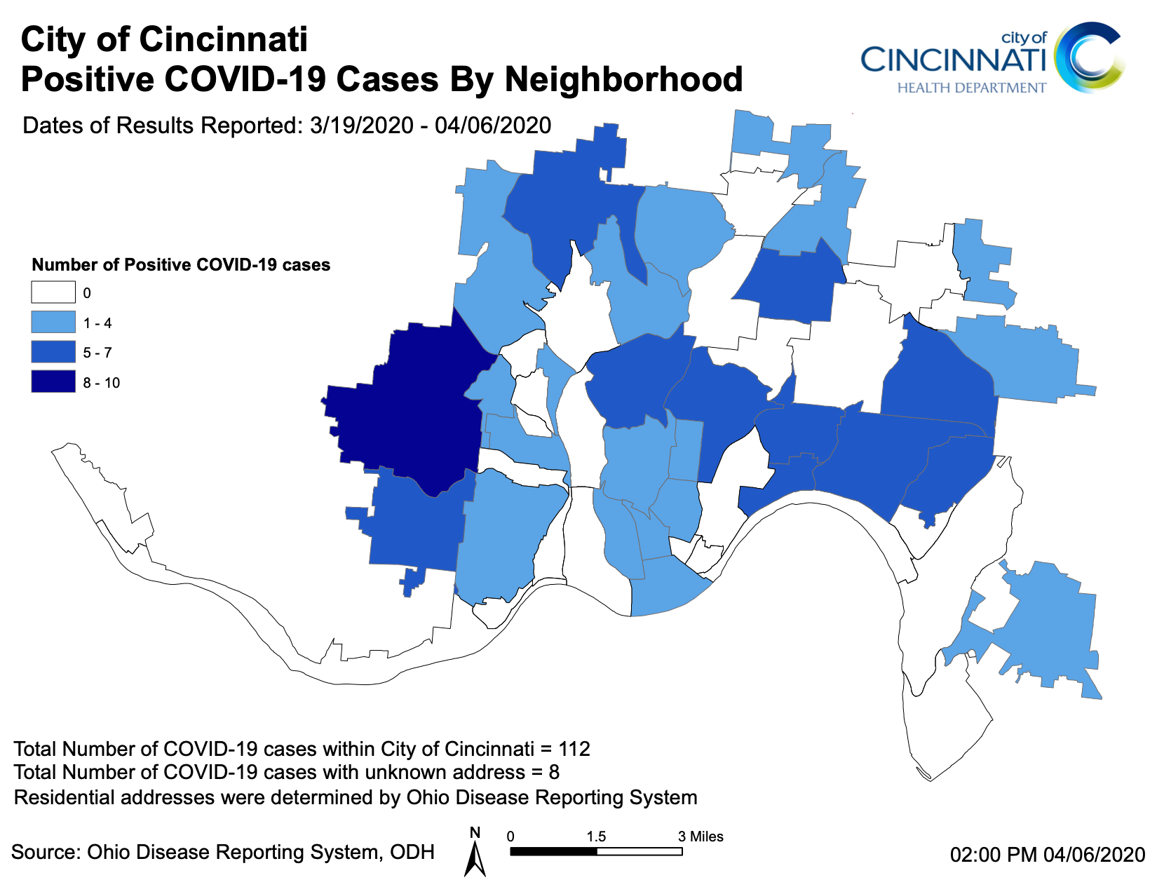
City of Cincinnati officials released an updated map on April 6 showing how many confirmed COVID-19 cases each Cincinnati neighborhood has seen so far.
Westwood, the city's most populous neighborhood, had the largest share of the city's 112 cases with between eight and 10, according to the heat map.
Avondale, Bond Hill, Clifton, College Hill, Evanston, Hyde Park, Mount Lookout, Oakley and West Price Hill all had between five and seven cases as of April 6.
A number of neighborhoods including the Central Business District, Clifton Heights, Corryville, East Price Hill, East Westwood, Hartwell, Kennedy Heights, Mount Airy, Mount Auburn, Mount Washington, North Fairmount, Over-the-Rhine, Roselawn, West End, Winton Hills and Winton Place each had between one and four cases confirmed each.
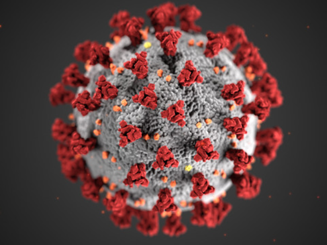
Cincinnati Health Commissioner Melba Moore said today that the city has confirmed its first two deaths from COVID-19. A 71-year-old man and an 86-year-old man with other medical conditions died from the virus, Moore said. She did not release any further details about their cases.
Ohio Gov. Mike DeWine extended a stay at home order for the state until at least May 1. Mayor John Cranley and Cincinnati Police Chief Eliot Isaac have vowed to enforce that order. This past weekend, one person was arrested after filming and allegedly encouraging a group gathering in Over-the-Rhine in defiance of the stay at home orders.